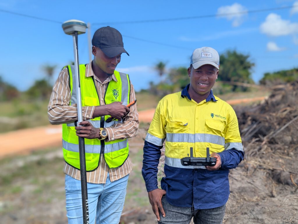
We provide comprehensive surveying and mapping services designed to support infrastructure development, land administration, engineering design, and project implementation. Using advanced geospatial technologies and modern surveying equipment, we deliver accurate, reliable, and high-quality spatial data tailored to meet the needs of diverse industries.
Our surveying solutions are applied across construction, mining, infrastructure, utilities, and land development projects, ensuring precise measurements, proper planning, and efficient execution at every stage of a project lifecycle.
Our Services include
Control Surveys
Topographic Surveys
Engineering Surveys
Construction Surveys
Mining Surveys
Powerline Surveys
Pipeline Surveys
Route Surveys
Hydrographic Surveys
Cadastral (Legal) Surveys
Photogrammetric Surveys
Deformation Monitoring Surveys
Control Surveys
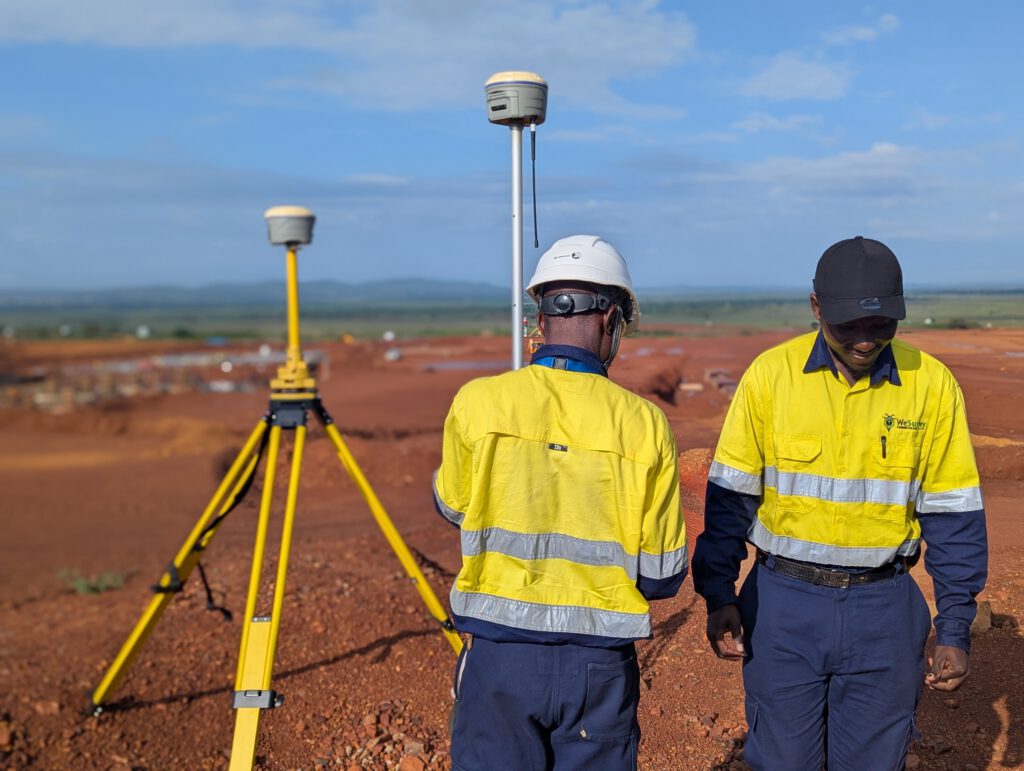
We establish accurate reference points and coordinate systems that serve as the foundation for all types of surveying and engineering projects.
Engineering Surveys
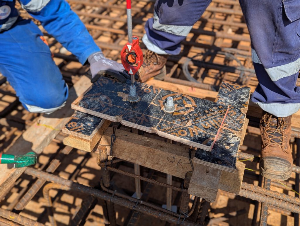
We provide precise measurements and data required for the design, layout, and execution of engineering and infrastructure projects.
Mining Surveys
We deliver specialized surveying services for mining operations, including site mapping, volume calculations, and monitoring of mining activities.
Pipeline Surveys
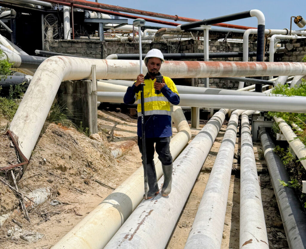
We provide accurate route mapping and alignment data for pipeline design, installation, and maintenance for efficient project operations.
Aerial Surveys
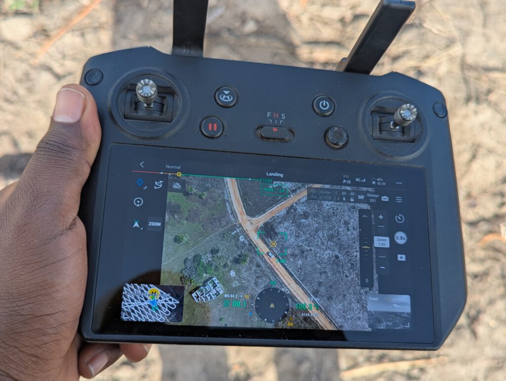
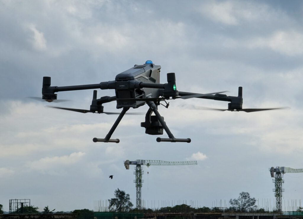
We collect geospatial data, images, or sensory information about land or objects from an elevated position, typically using drones (UAVs), purposely for mapping, topographical surveys, construction monitoring, and environmental monitoring.
Hydrographic Surveys
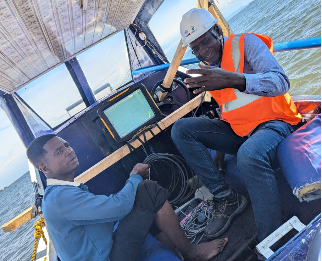
We measure and map underwater features and water bodies to support marine, port, and water resource projects.
Start a survey request
Send project details. Get the right survey response.
+255 (0) 625 145 222
+255 (0) 672 241 158
info@wesurvey.co.tz
Madale Area, Kinondoni District, Dar es Salaam, Tanzania
Nancy R. Mchomvu
A multi-talented woman with a strong experience in planning and supervision of various projects in GIS Consultancy, land developments projects, and route surveying projects related to Powerlines Survey and Construction. Her professionals and qualifications are powered by Bachelor of Science in Geomatics from University of Dar es Salaam (UDSM) and she is a member of Institution of Surveyors of Tanzania (IST).
Nicolaus A. Msuya
He is experienced in leadership and management especially in Engineering projects, Legal surveys, Bathymetric surveys and Mapping. He is a member of Institution of Surveyors of Tanzania (IST), He is recognized by Board of Control and Licensing of Surveyors (BCLS). He is a Licensed Drone Pilot and, he holds Bachelor Degree in Geomatics from Ardhi University (ARU) Dar es salaam.